Johannesburg Map Art Prints
Johannesburg's grid sprawls across the Witwatersrand ridge, its streets running in strict rectangular blocks from the original 1886 mining camp at Commissioner Street. The city fans outward in concentric rings of suburbs, bisected by the M1 and M2 highways that radiate from the center like spokes, while the Limpopo and Crocodile Rivers mark the northern boundary of the greater metropolitan area. The Apartheid-era spatial divisions remain visible in the map — wealth concentrated in the northern suburbs like Sandton and Rosebank, separated by clear geographic and infrastructural lines from the sprawling township rings of Soweto and Alexandra to the south and east.
-26.2041° S, 28.0473° E
Popular for any city
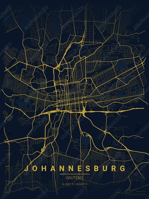
Brass Astrolabe
Gold filigree on indigo velvet
Molten-gold streets traced across deep midnight blue — an old navigation instrument rendered as a city. Private libraries, oak-lined studies, anywhere…
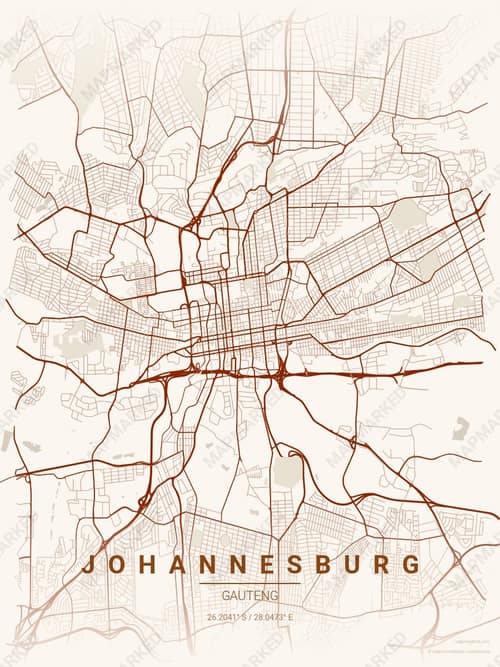
Autumn Embers
Peak foliage, every street ablaze
Deep burnt crimson traces city streets through a cream canvas, like embers glowing against fallen pages. Belongs in a reading nook, a New England cabi…

Citrus Deep Sea
Deep navy base with citrus chartreuse roads. A palette for tropical scuba and reef photography.

Deep Plum
Deep plum base with butter cream roads. A palette for winter galas and opera-house venues.
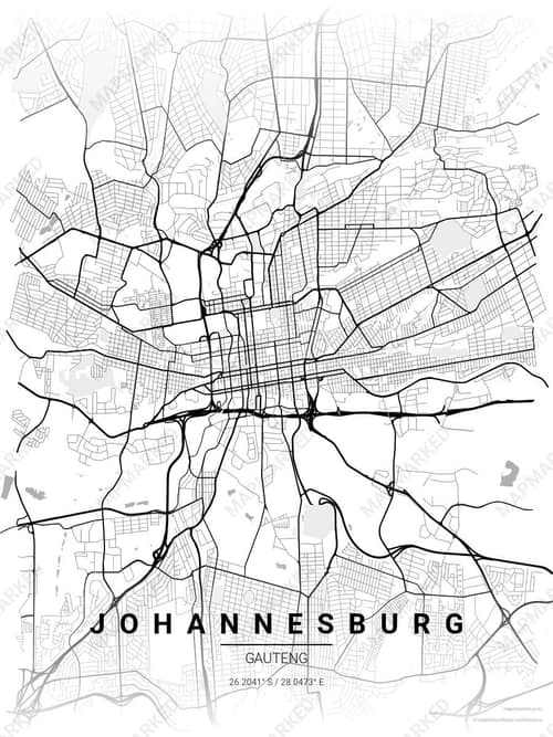
Chalk Gallery
Gallery white, ink-black streets
Pure chalk-white canvas with streets etched in stark black, nothing soft about it. Museum glass, modern loft, any wall that wants to announce the room…

Harvest Barn
Warm cream base with barn green roads. A palette for red-barn country and Sunday drives.

Midnight Study
Deep slate base with study gold roads. A palette for writing desks and midnight essays.

Cafe Night
Deep plum base with cream butter roads. A palette for late-night cafes and bistro menus.

Sandstone
Cream base with sandstone roads. A palette for desert retreats and limestone canyons.

Driftwood Navy
Deep navy base with driftwood roads. A palette for coastal libraries and harbor offices.

Orchid Night
Midnight base with orchid pink roads. A palette for late-night florists and ballet studios.

Terracotta Dusk
Near-black oxblood base with terracotta roads. A palette for kiln-fired pottery and Mediterranean evenings.
Johannesburg map art gift ideas
A custom Johannesburg map makes a personal gift for the people and moments tied to the place.